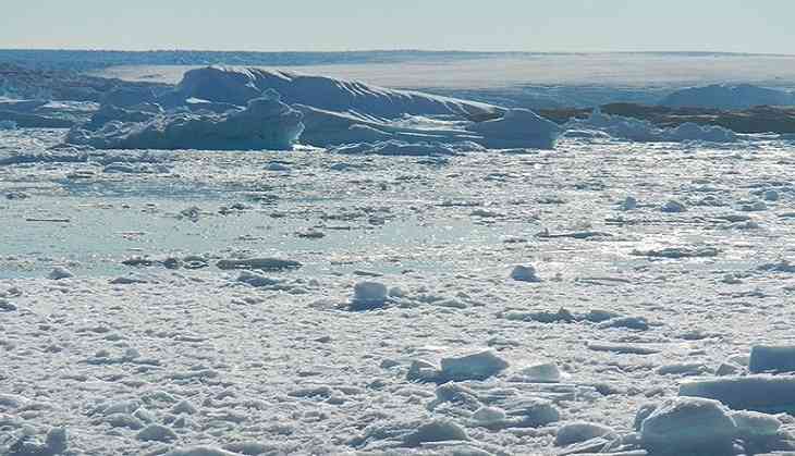
According to new maps of Greenland's coastal seafloor and bedrock beneath its massive ice sheet, two to four times as many coastal glaciers are at risk of accelerated melting as had previously been thought.
Researchers at the University of California, Irvine, NASA and 30 other institutions have published the most comprehensive, accurate and high-resolution relief maps ever made of Greenland's bedrock and coastal seafloor. Among the many data sources incorporated into the new maps is data from NASA's Ocean Melting Greenland campaign.
Lead author Mathieu Morlighem of UCI had demonstrated in an earlier study that data from OMG's survey of the shape and depth, or bathymetry, of the seafloor in Greenland's fjords improved scientists' understanding of both the coastline and the inland bedrock beneath glaciers that flow into the ocean. That's because the bathymetry at a glacier's front limits the possibilities for the shape of bedrock farther upstream.
The nearer to the shoreline, the more valuable the bathymetry data are for understanding on-shore topography, Morlighem said. "What made OMG unique compared to other campaigns is that they got right into the fjords, as close as possible to the glacier fronts. That's a big help for bedrock mapping," he added.
The new maps revealed that two to four times more oceanfront glaciers extend deeper than 600 feet (200 meters) below sea level than earlier maps showed. That's bad news, because the top 600 feet of water around Greenland comes from the Arctic and is relatively cold. The water below it comes from farther south and is 6 to 8 eight degrees Fahrenheit (3 to 4 degrees Celsius) warmer than the water above. Deeper-seated glaciers are exposed to this warmer water, which melts them more rapidly.
Morlighem's team used the maps to refine their estimate of Greenland's total volume of ice and its potential to add to global sea level rise if the ice were to melt completely, which is not expected to occur within the next few hundred years. The new estimate is higher by 2.76 inches (7 centimeters) for a total of 24.34 feet (7.42 meters).
OMG principal investigator Josh Willis of JPL said, "These results suggest that Greenland's ice is more threatened by changing climate than we had anticipated."
-ANI


